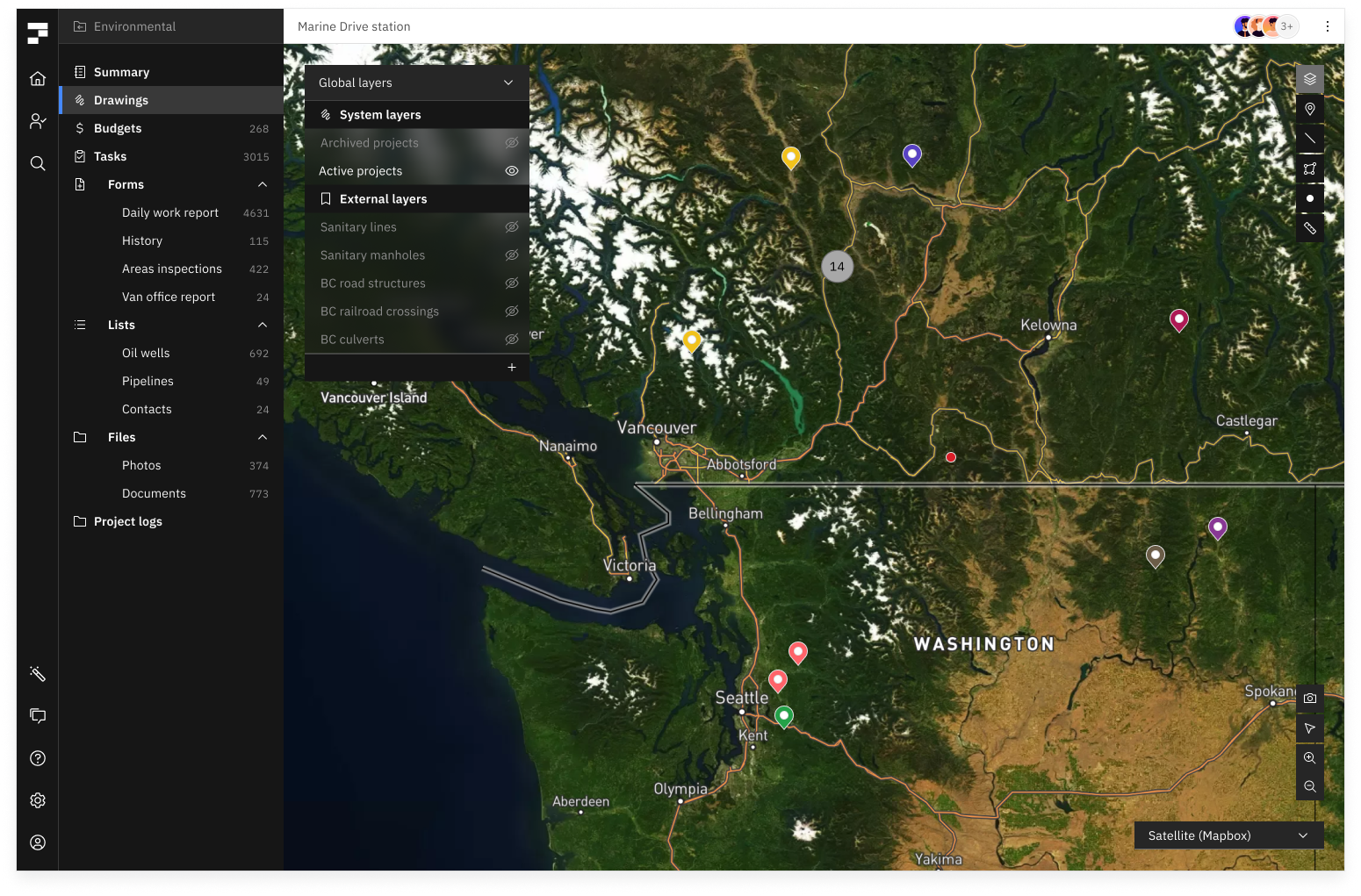
Add GIS layers to your portfolio map, and attach GIS assets to projects or locations
Fieldshare has the power to connect GIS and mapping to your day-to-day business information. In addition to Fieldshare’s native mapping and markup tools, you can connect data that is stored in other databases. That means you can sync layers with ArcGIS or upload static layers, and also bookmark assets to individual projects. Users get a streamlined experience where geospatial data and project data are available together on the same platform, and can be used without any technical training.